In The Field
Active Monitoring Sites
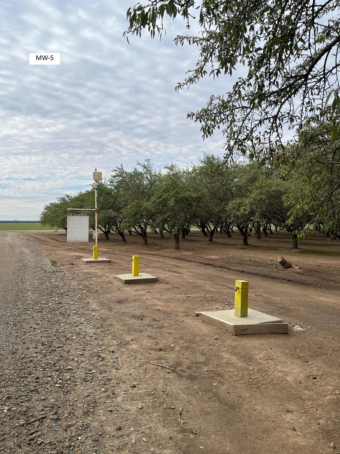
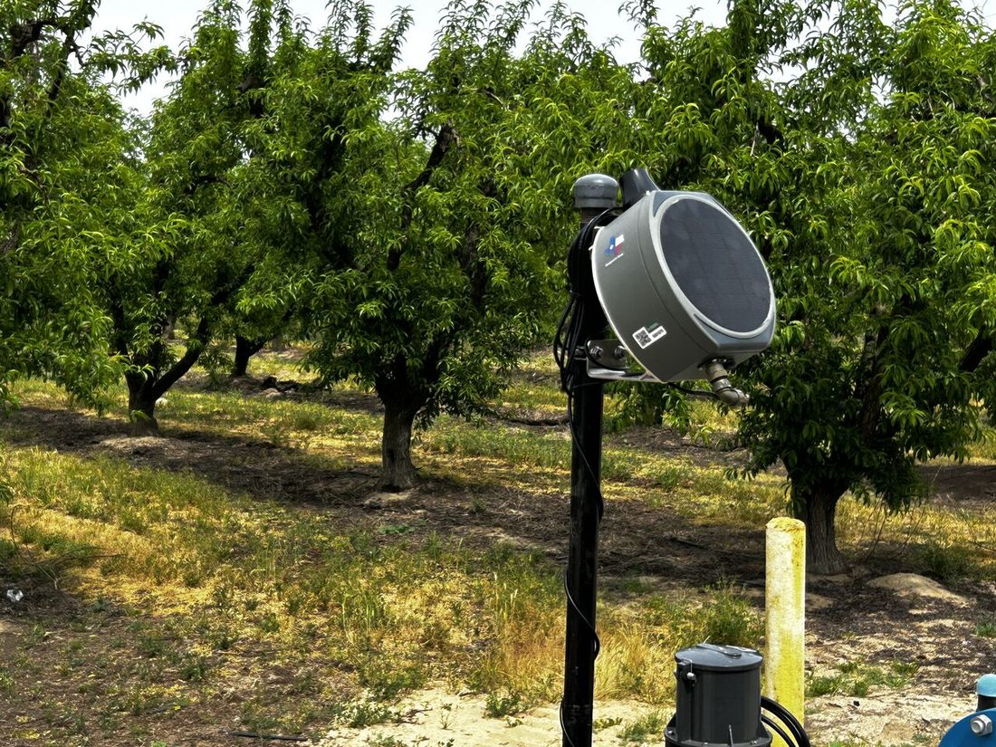
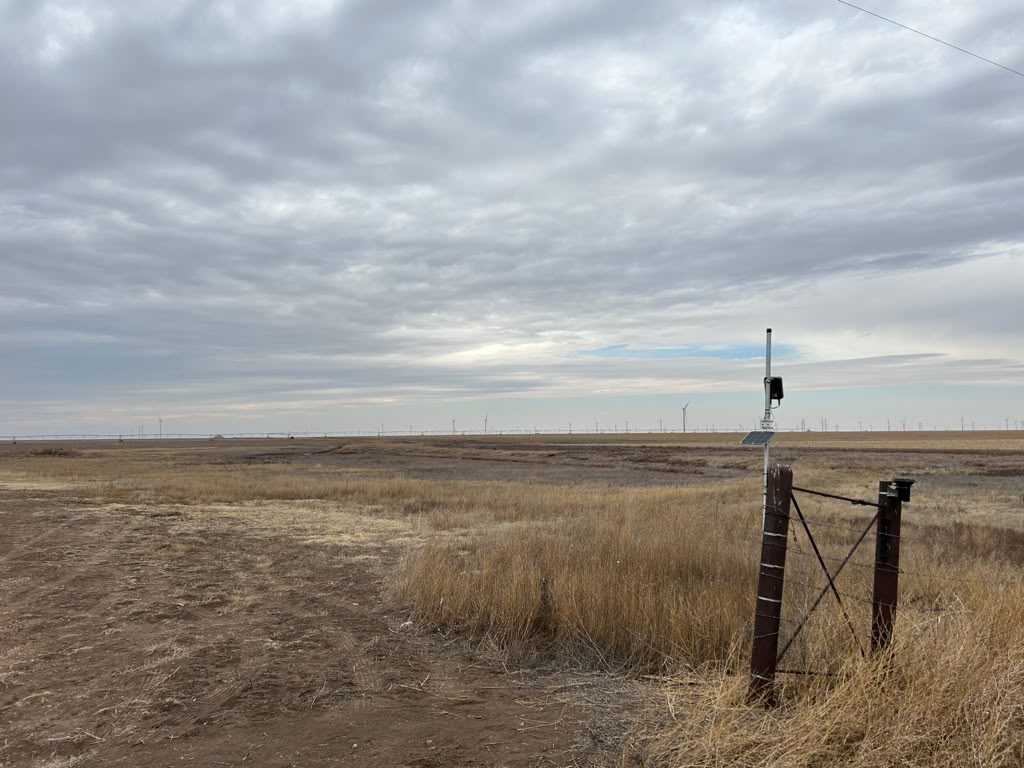
Real Woodpecker infrastructure in the ground — groundwater levels, surface-water diversions, and irrigation flow, captured and reported for compliance. Tap any photo to enlarge.
Lower The Cost Of Knowing Your Basin
The measurements your district takes by hand today — captured continuously and automatically, so reporting and recordkeeping cost less staff time, and the record runs deeper when the state or a consultant needs it.
The problem we solve
Today the data comes in by hand — someone drives the routes, reads each meter and well, and compiles it once a year. Woodpecker automates the collection: continuous readings from wells, diversions, and turnouts flow into one record in Iris Central, so annual reporting and recordkeeping stop eating staff time and windshield miles.
And because the record is continuous rather than a few manual reads a year, it holds up when the state asks for detailed trends or a consultant needs it for modeling — and it lets you check satellite-based estimates against what's actually measured in the field. The data moves where it needs to go through an open API, without anyone re-keying it.
In the end, that's the point — reliable measurement today so there's water to manage tomorrow, for the community that depends on it.
What We Deliver
Modular networks configured for the jobs agencies actually need done — every deployment reporting into one consistent record on Iris Central.
Well-network deployments for groundwater agencies and districts managing basin sustainability — continuous water levels across your jurisdiction, structured for state reporting.
Diversion measurement, canal flow, and seepage characterization — for irrigation districts, water districts claiming recharge credits, and rights holders filing with state boards.
Compliance-grade flow monitoring and automated reporting where your agency mandates metering — defensible records without the manual collection burden.
Field-grade precipitation and evapotranspiration observations where regional satellite estimates fall short — ground truth for your water budget.
In The Field
Real Woodpecker infrastructure in the ground — groundwater levels, surface-water diversions, and irrigation flow, captured and reported for compliance. Tap any photo to enlarge.
How It Connects
Districts span terrain that no single radio covers well. Woodpecker designs the network around your jurisdiction — using whatever keeps each well, diversion, and turnout reliably reporting, even where cellular coverage is poor.
We adapt the communications to your jurisdiction — not the other way around.
Why Agencies Choose Woodpecker
Auditable, field-grade data that holds up in filings, allocations, and disputes.
Many sites and jurisdictions on one platform, not a patchwork of disconnected loggers.
Basin reporting, state-board filings, and condition-triggered alerts matched to your obligations.
Scoped views for staff, board members, and stakeholders — the right people see the right sites.
Iris Central is where your network's data converges, gets structured into a defensible record, and flows out as reports, alerts, and an open API — without ever leaving the chain of custody.
Tell us what you're managing and what you need to be able to prove. We'll respond with a direct, useful answer — and can connect you with a nearby agency reference on request.